3 min read
Curiosity Blog, Sols 4968-4974: Rock Climbing Towards the Discontinuity
Written by Lucy Lim, Planetary Scientist at NASA’s Goddard Space Flight Center
Earth planning date: Friday, July 31, 2026
As mentioned in the previous blog, Curiosity has been exploring a large-scale feature in Gale’s sedimentary record suspected to be an “erosional supersurface.” The “supersurface” represents a period in time when a net depositional environment changed to a net erosional one before returning to a depositional regime, thus producing a discontinuity in the rock record. The erosion can involve wind, water, or both. Sometimes there are clues about these environmental changes in the layers below and above the supersurface. So far we’ve been seeing some patterns that look like aeolian features and also some “lens” deposits that sometimes appear consistent with fluvial origins. We need higher-resolution imaging of these features.
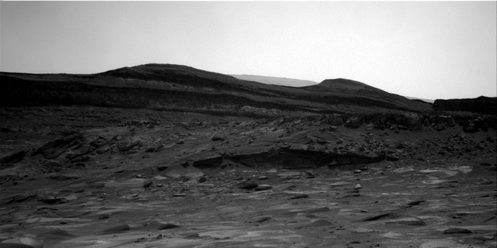
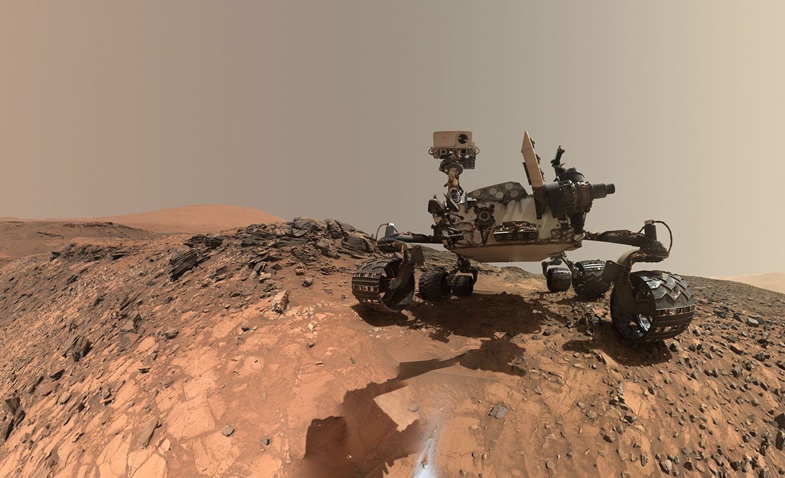
This week Curiosity came within detailed imaging range of a section of the “Cerro Paine Grande” vertical exposure just below the candidate supersurface before climbing on top of it. Mastcam was the star of the show on both planning days this week, capturing large stereo mosaics of the vertical face of the outcrop and a 360-degree panorama after the rover climbed on top of it.

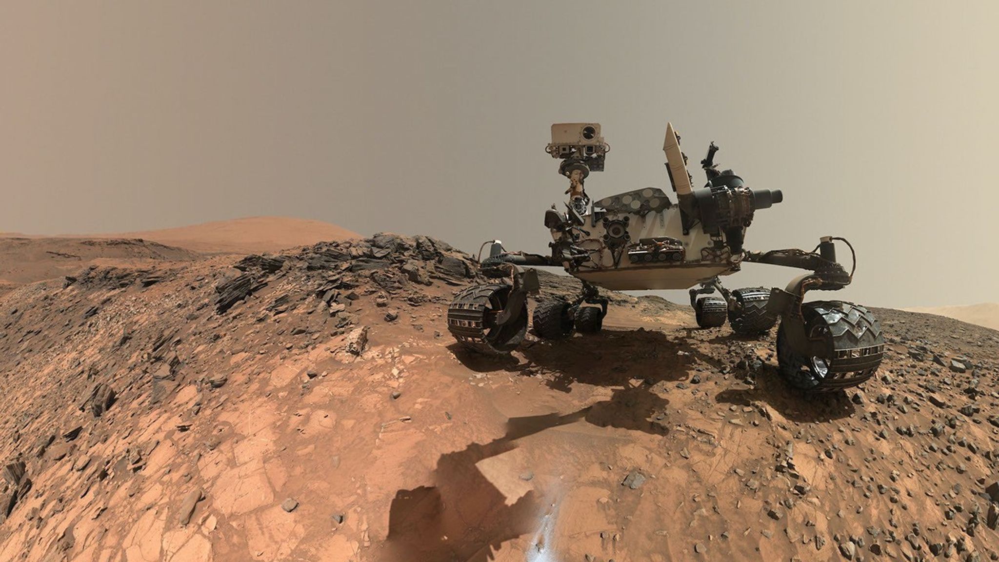
Roving to the top took full advantage of Curiosity’s climbing capabilities, leaving the rover at an approximate 24-degree tilt in its final parking spot. The rover planners managed to reach the right posture for contact science at the same time — quite a feat, and one that approached the mission’s contact science tilt record of 27 degrees!
Meanwhile, MAHLI and our geochemical instruments provided detailed characterization of the rock layers beneath the discontinuity. I was the Geology and Mineralogy Theme Lead for the Sol 4968 (Monday) planning cycle, during which “Puyehue” in the light-toned bedrock block of the workspace was co-targeted with APXS, MAHLI, and ChemCam LIBS. The other two targeted LIBS observations in the plan went to a similar-looking nearby bedrock block (“Lago Palena”) and an intriguing layered block off to the side of the workspace (“Piedras Juntas”). Another APXS measurement went to a sand target, “Cormudesi,” which will help us assess the consistency of sand compositions along the rover’s traverse.
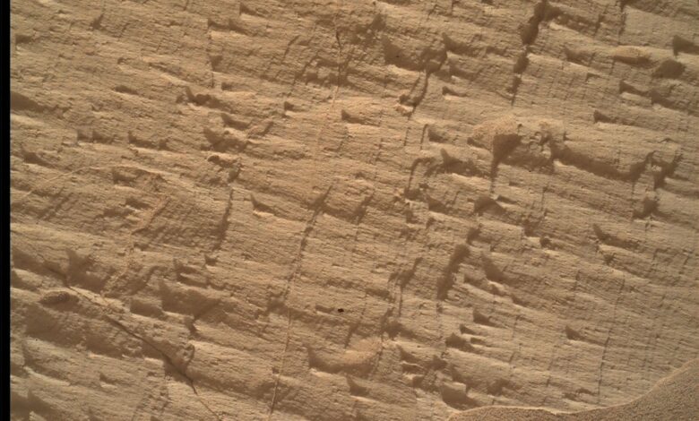
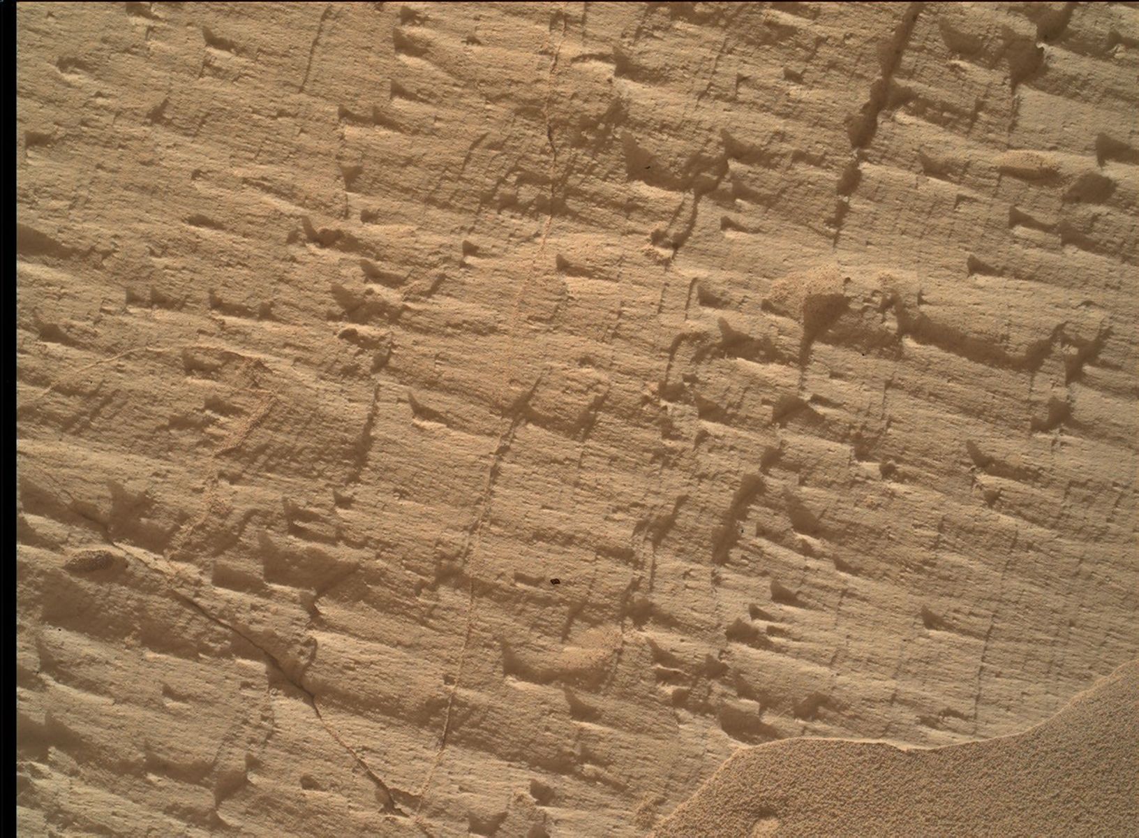
In the Sol 4972 workspace atop the slope, the bedrock was sharply divided between a smooth bedding-parallel surface on the local top of the outcrop and the darker-toned, rougher, angled exposure of the same rocks. The light-toned top surface was measured by MAHLI, APXS, and the LIBS at target “Sierra de Sangre,” whereas the darker-toned laminated face was targeted by APXS and MAHLI at “Laguna del Laja.” The fine-scale sedimentary structures in the textured material were also documented by a MAHLI mosaic (“Longquimay”) supported by Mastcam M100 imaging.
Rounding out the week’s science observations were several long-distance ChemCam RMI mosaics on more distant targets such as sedimentary structures above the rover’s current stratigraphic position, and finally our regular cadence measurements of the modern Martian environment, including atmospheric opacity and a ChemCam passive-sky survey to monitor abundances of minor atmospheric gases.